CHANSEY PAECH
Member for Gwoja
CHANSEY PAECH
Member for Gwoja

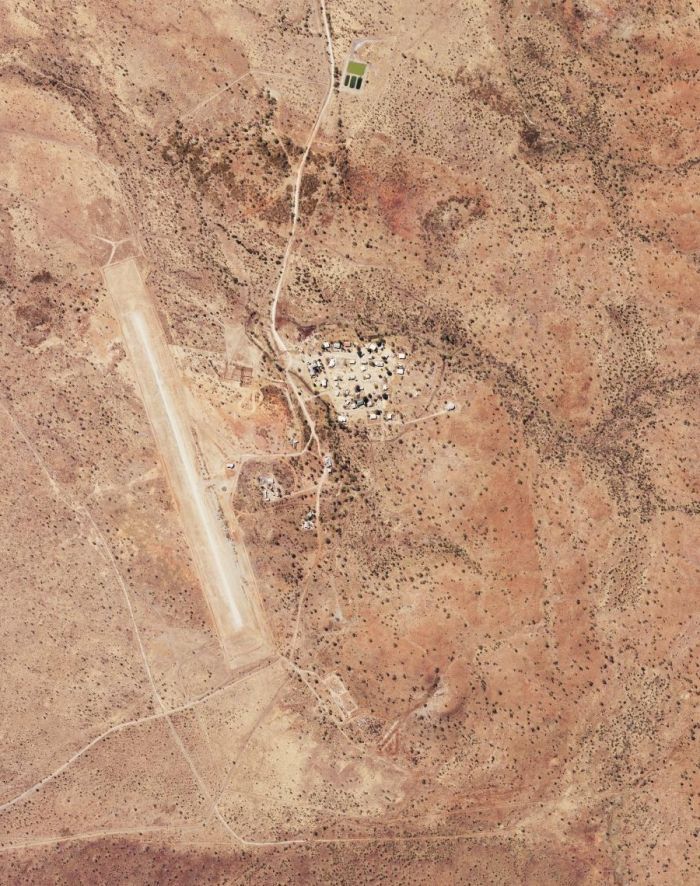
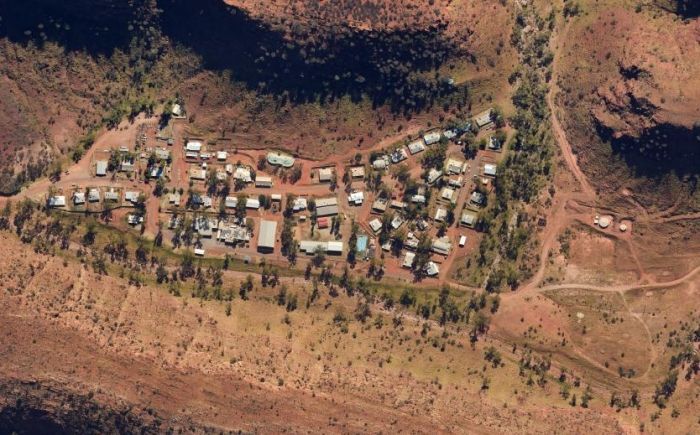
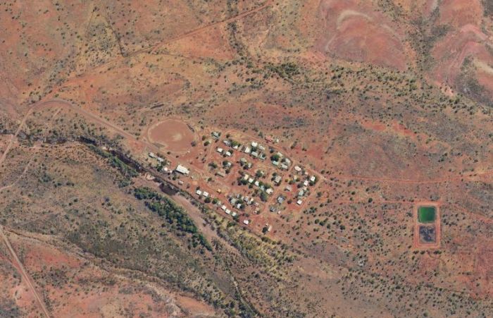
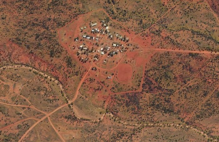
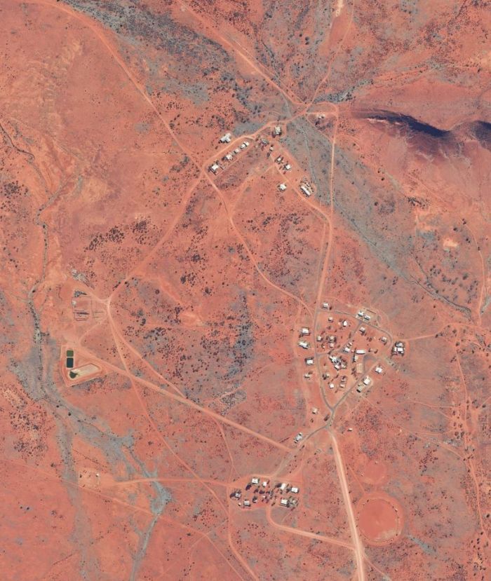
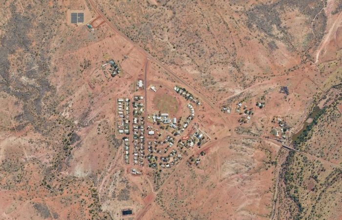
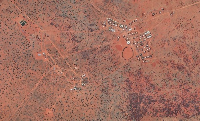
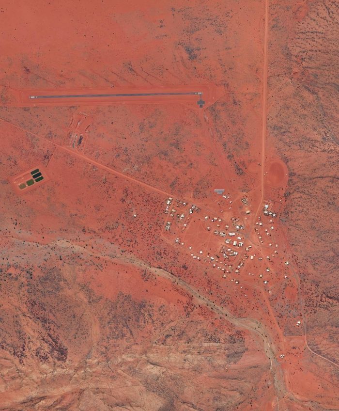
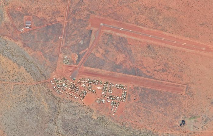
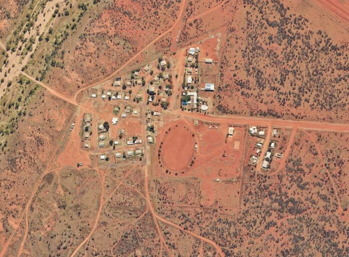
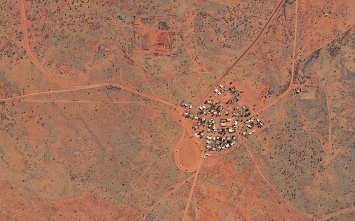
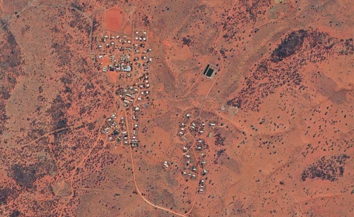
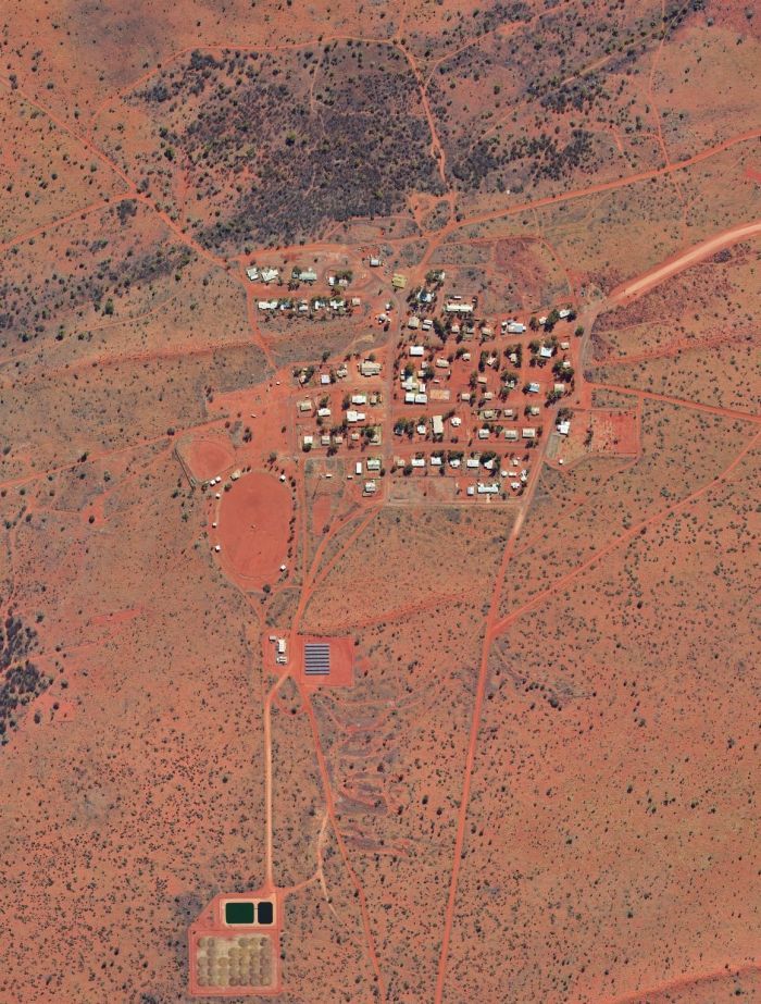
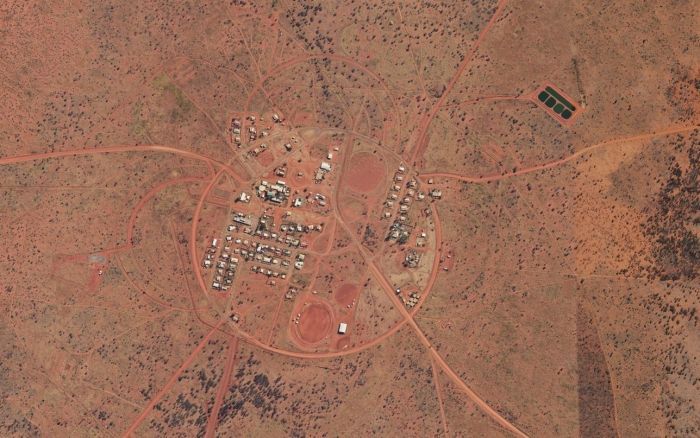
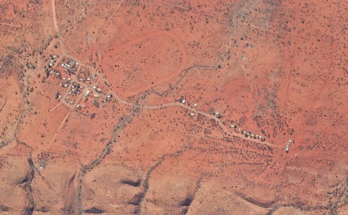
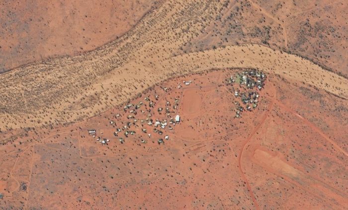
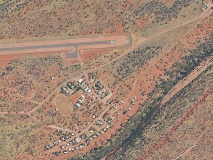
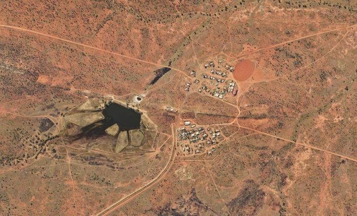
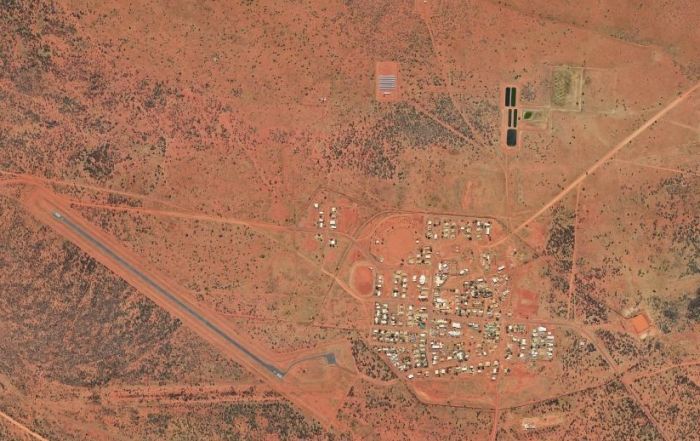
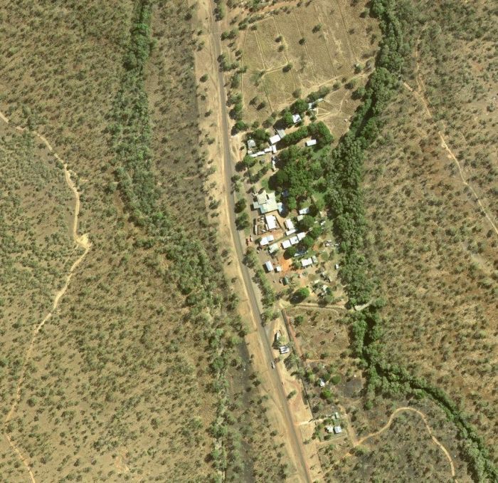
Gwoja Communities

Chansey Paech MLA
ELECTORATE OFFICE
ALICE SPRINGS
Unit 2/51 Todd Mall
Alice Springs NT 0870
—
PO Box 4592
Alice Springs NT 0871
—
p : (08) 8951 5561
ELECTORATE OFFICE
KATHERINE
2A Katherine Oasis Shopping Centre Katherine NT 0850
—
PO Box 1640
Katherine NT 0850
—
p : (08) 8973 8901

We acknowledge the Traditional Owners of Country throughout Australia and recognise their continuing connection to land, waters and culture. We pay our respects to Elders past, present and emerging.